Happy Anniversary to Us!!
5-23-14
By Emily
It was May 23rd, 2014, our 16th wedding anniversary, we were tired and hungry, waiting for our food at the Hasan Restaurant in Camoapa, Nicaragua. And Elsa wanted a story. So it began….
The dog told the wrens. The wrens told the cows. The cows told the kiskadees. The kiskadees told the parakeets. The parakeets told the oropendula. The oropendula told the foal. The foal told the meadowlark. The meadowlark told the swallow tail kites. The kites told the lizard. The lizard told the butterflies. The butterflies told the monkeys. The monkeys told the field sparrow-like-sounding-hidden- bird. The field sparrow-like-sounding-hidden-bird told the vultures. The vultures told the jays. The jays told the blue morpho butterfly. The morpho told the deer. The deer told the orioles. The orioles told the toucans. The toucans told the baby monkey. The baby monkey told the squirrel. The squirrel told the ani. The ani told the chickens. The chickens told the calf. The calf told the grackles. The grackles told the dog. And the dog told the little girl waiting at her front door.
And what did they all say??
“The gringos are coming! The gringos are coming! Quick, send the message, the gringos are coming!”
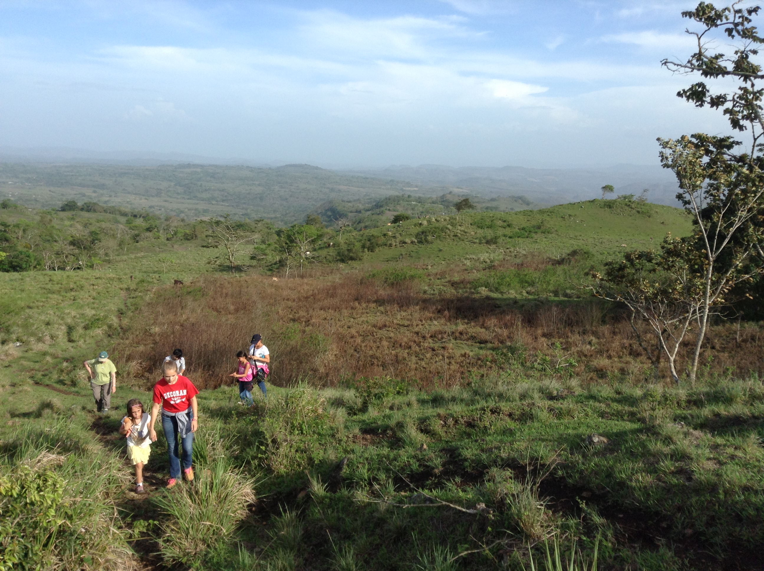
We were on a mission to find a round trip route from our house up Mombachito and back. We (or at least Andy knew) pretty much the way we needed to go, but knew also that we could meet some challenges finding the correct path up the south east side of the mountain. If we were successful with that, then we planned to go down the west side (the side we usually go up). This would mean also finding a route around the base of the mountain on the west side to bring us back to Camoapa, which lies southeast of the mountain.
We had been up Mombachito four times previously. Each time involved a 15 minute car ride out the Carretera Boaca (highway to Boaco) and then another 25 minutes on a dirt hilly rocky road. We would park on the side of the road across from an entrance to a finca, sneak under a fence and find the path up the mountain which initially goes through some bean fields. This path approaches the mountain from the west and basically goes along the curving ridge line through the jungle after the short stent through bean fields. There are four communication towers up there, on two different peaks, each about a 10 minute walk apart. The first time up in January, it was still the rainy season and we spent more time exploring, it was socked in and cold, and Leila has a sore toe, so we only reached the first peak. Later on in February we made it to the top with Eric, Brenda, Allie and Kai. Then we took up our friend Rich when he visited a couple of weeks later. In April, we spent the night at the first peak with Natalie, Claire, Rob, Denzel and Dietmar. After the first time, we always went to the end of the second peak for the fantastic views of Camoapa and the Selva Mombach pool, which is directly south of the mountain at the bottom of the steepest, cliff face side.
Anyone who knows Andy well knows that he prefers taking the road less traveled, finding a new route, instead of repeating an old one and always avoids an “out and back” if a round trip is possible. He also has an uncanny sense of direction (compared to mine) and seems to be able to follow his nose that always knows! So when he suggested that we try this adventure on our anniversary, I was more worried about leaving the girls alone all day than I was worried about getting lost. (They had the day off of school.) So began our quest to find the route from the east and combine it with the route from the west. He had been asking around for a while, and knew that folks had ascended from the east, but the route was notoriously hard to find and had the reputation for being very muddy and steep. We decided to attempt this on our honeymoon and go without the girls, just in case we were to get terribly lost and be hiking in the dark on the way home.
We left the house at 9:30 am after a big apple dutch baby and bacon breakfast with the girls. We hiked at a comfortable but fast pace through Camoapa and up the steep cobblestone road that leads to Mombachito church.


We arrived at the Y in the road and took a right, instead of the usual left that leads to Selva Mombach pool.

The road almost immediately got worse, full of large boulders and eventually narrowed to a foot path that went between little parcels of land. We said “Adios” to folks as we went by, and I’m sure they were wondering what we were up to. The foot path itself was fairly level, but pretty muddy too, and torn up by many horse hoofs.
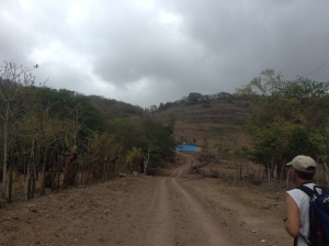
At about 1030, we reached a gate, beyond which was pasture. This is where we saw our first views of Camoapa.


We could also see our destination mountain top to the west (we were approaching from the east) and wondered out loud how much to the right (north) we would need to go.

Much of the pastures were rolling hills, so we did a lot of up and downs, following the foot and cow paths basically to the north.

Andy had a hunch that the path up through the forest/jungle was more towards the north, so we headed more north than west. There was a really large tree way up high on the horizon, and we kept this in sight as we swung around to the right. We figured that if we could get to that tree, we would be able to tell more where the path was likely to enter the forest.
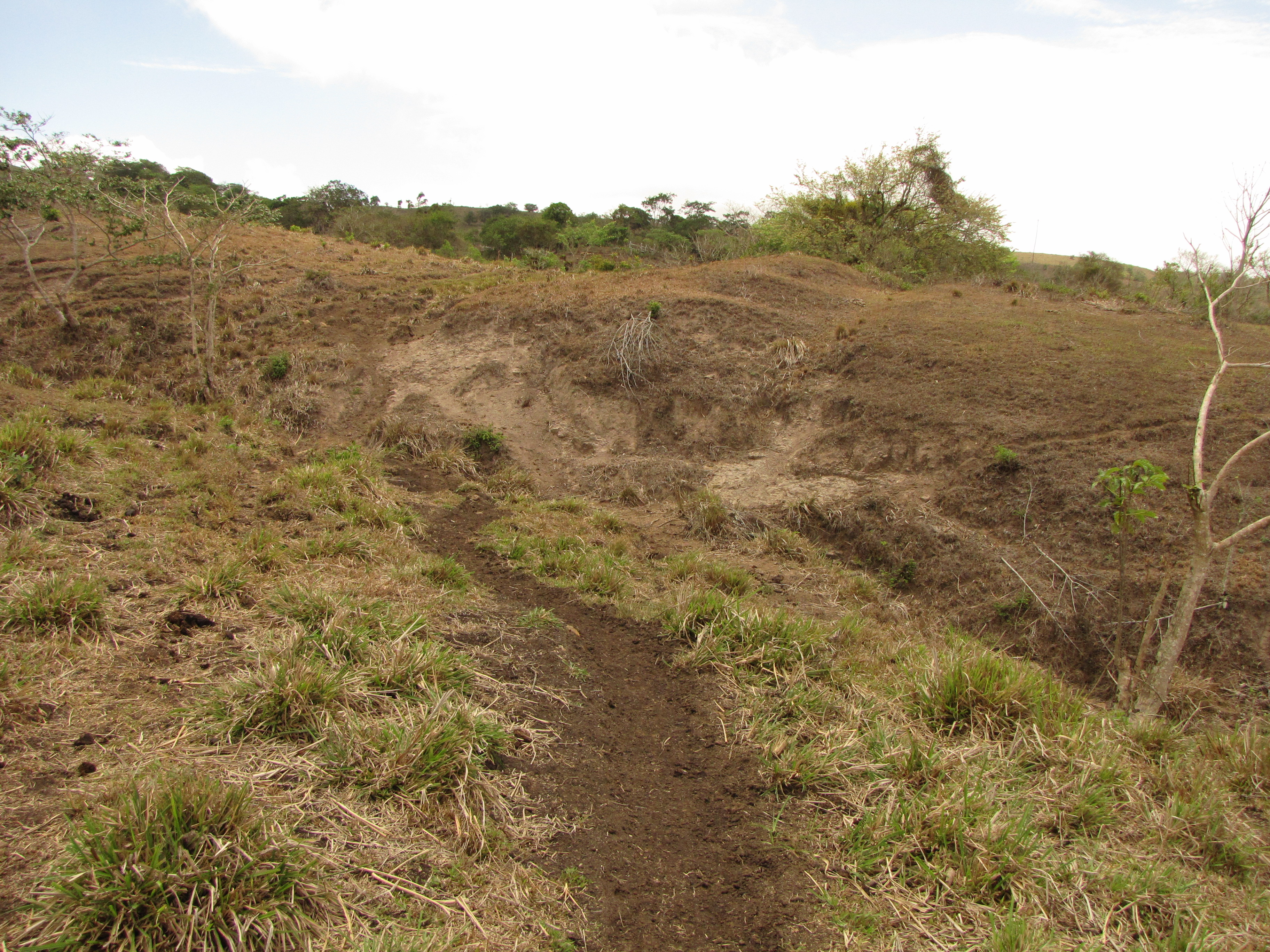
We crossed a few almost dry “quebradas” (streams) at the bottom of eroded ravines and wondered out loud how much water used to flow through this area hundreds of years ago when it was all still forest.


Eventually we found a really wet green area, soaked by a spring coming up out of the ground. There was no direct flow into a stream though, but the whole area was soaked earth. The frequent passing of cattle left it very very bumpy and lumpy. We managed to stay on top of the clods of earth that were somewhat drier, but it really reminded us of the vertical bog of Mount Kenya. Water was all around us, and we were hopping from our earth clod to another.

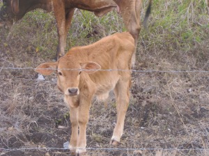
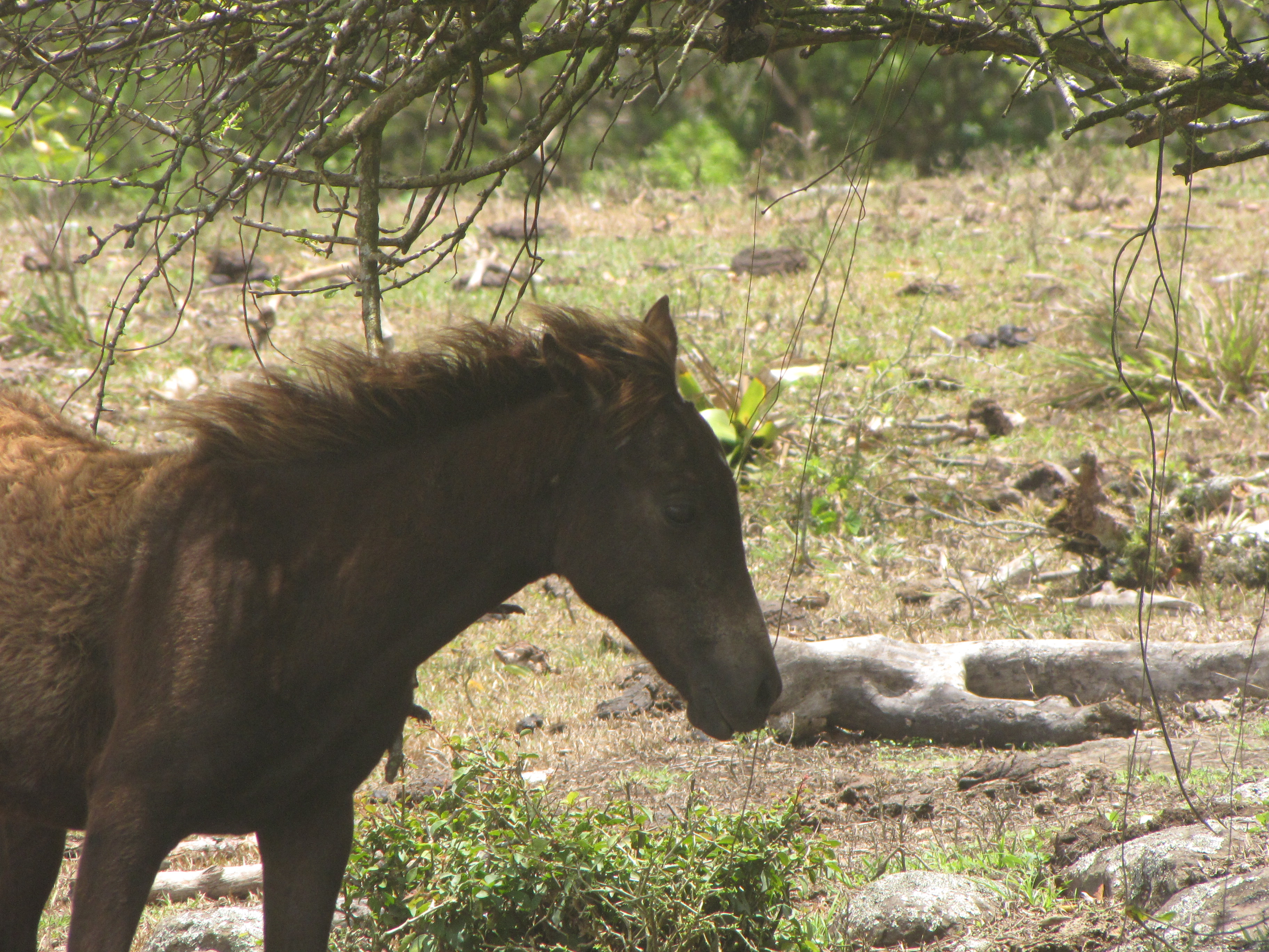
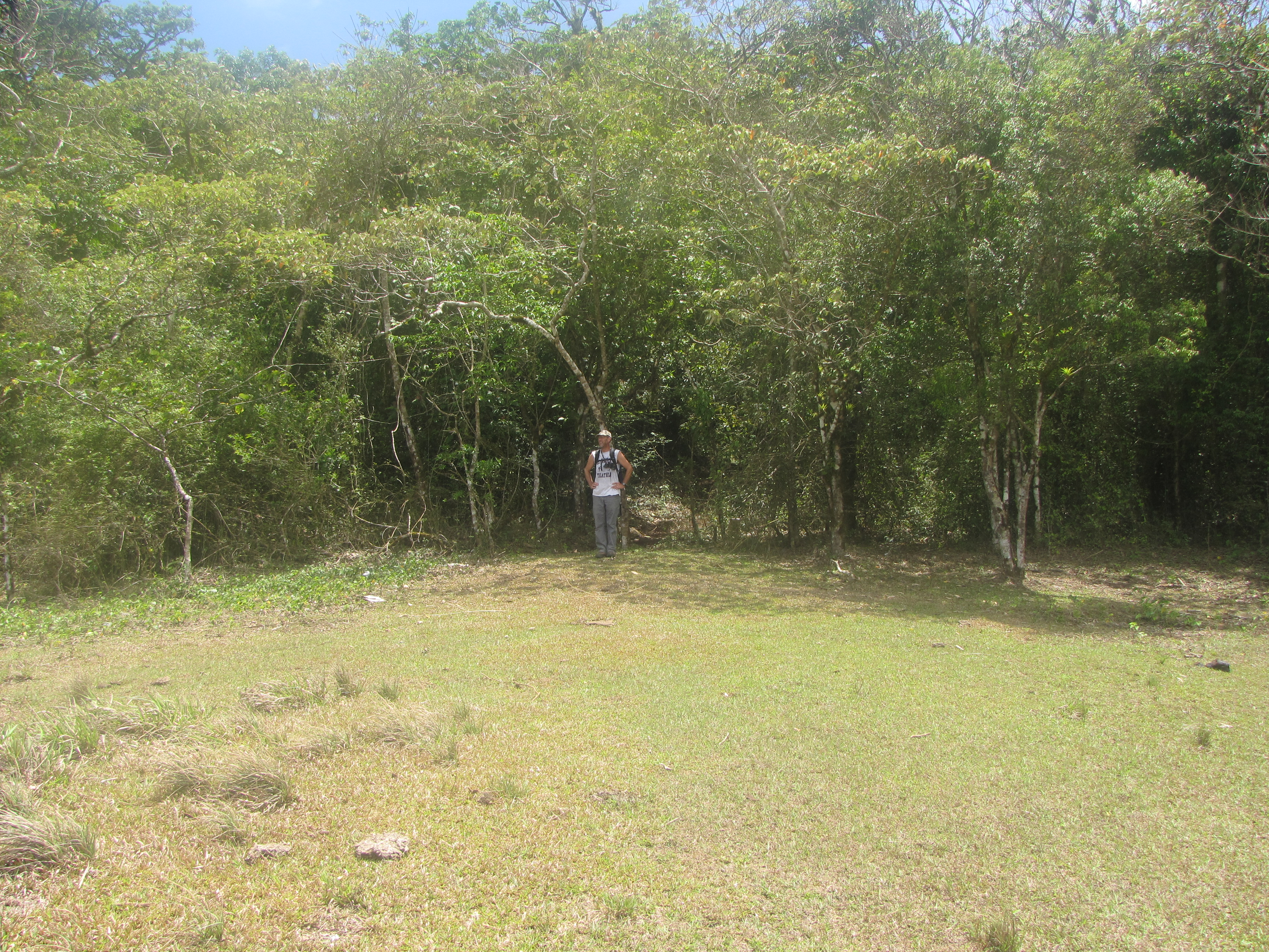
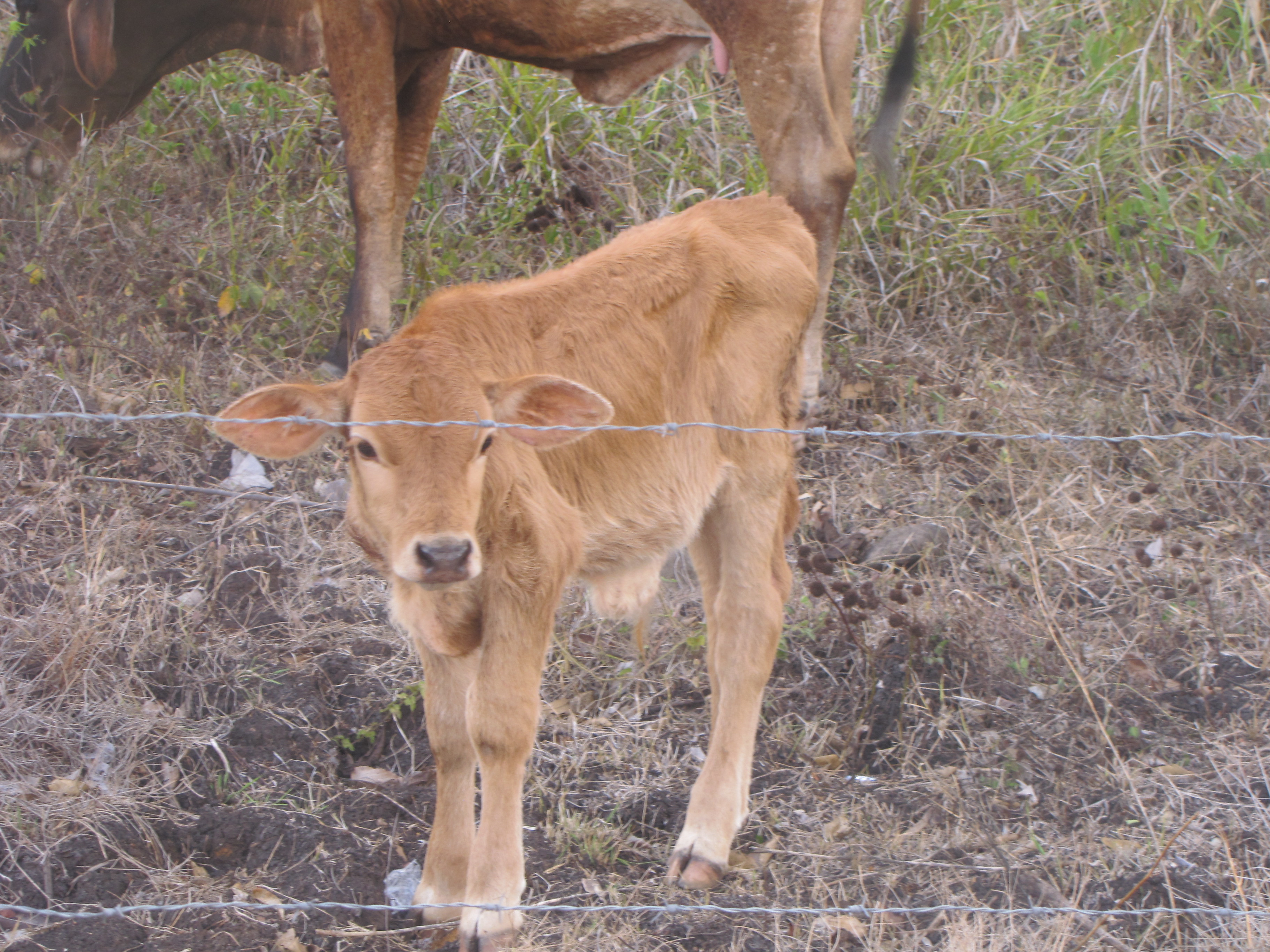
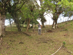
After that we went up a steep slope with some trees that reminded me of the edges of our pastures in Iowa, crossed another fence and made it to a smaller clump of trees, but close to “the big tree”. Here we took a break in the shade, which didn’t last long because ants seemed to be everywhere. There were birds everywhere to be seen as well. And at the big tree, we found a mother with her newborn foal too.

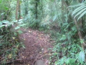
After “the big tree”, we headed to the forest and I couldn’t believe it when I realized that Andy had walked straight to the path entrance into the forest. He was a little ahead of me, and there had been no looking or wandering involved. Although it was great to find the path so easily, it was almost too easy and we felt a little let down since there was no challenge.

We entered into the woods at this point at 1130. We had no idea where the path would lead us, if it was the right path at all. At some point before entering the forest Andy made a very conservative estimate that we should make it to the top by 2:00 pm.
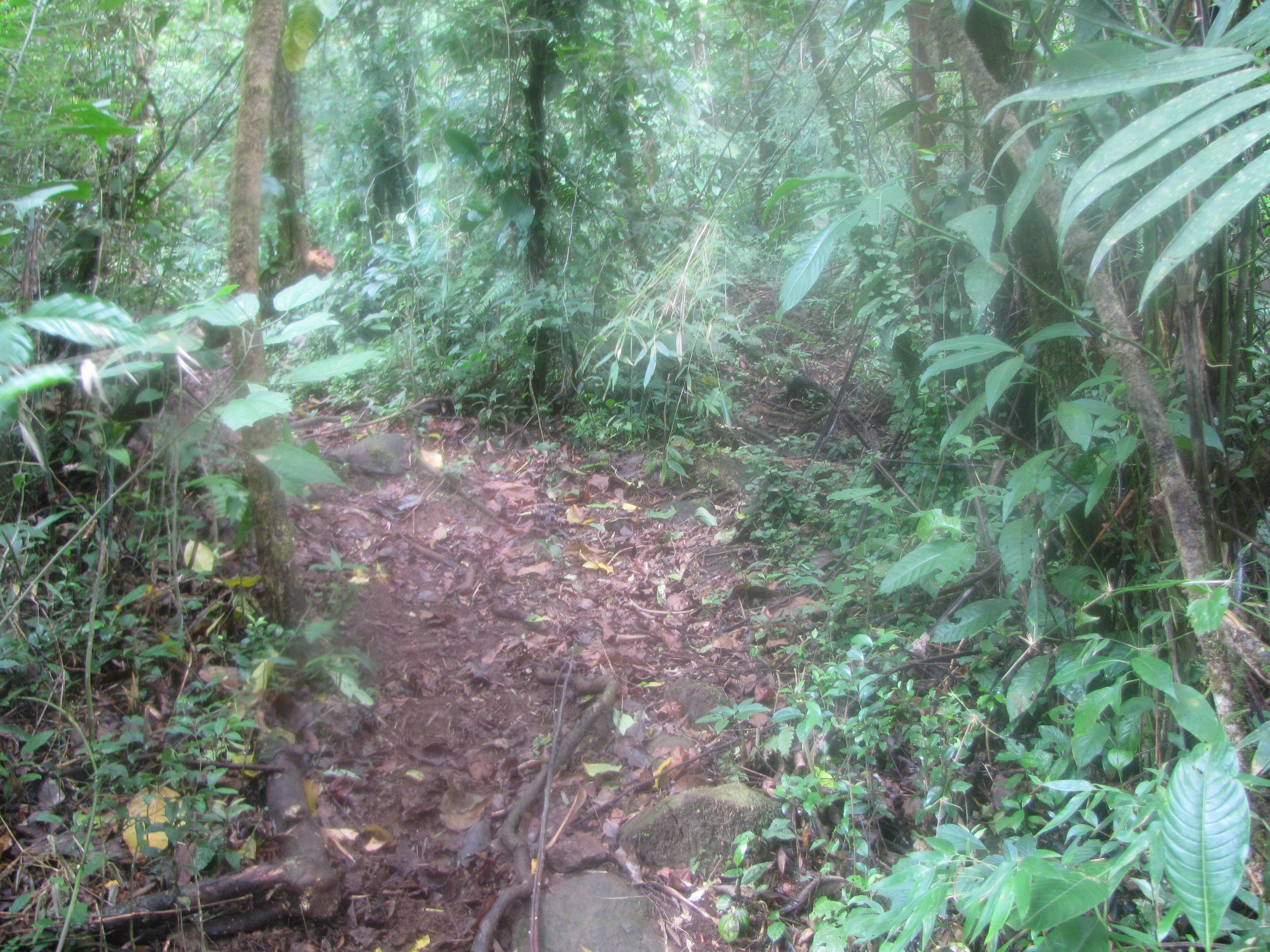
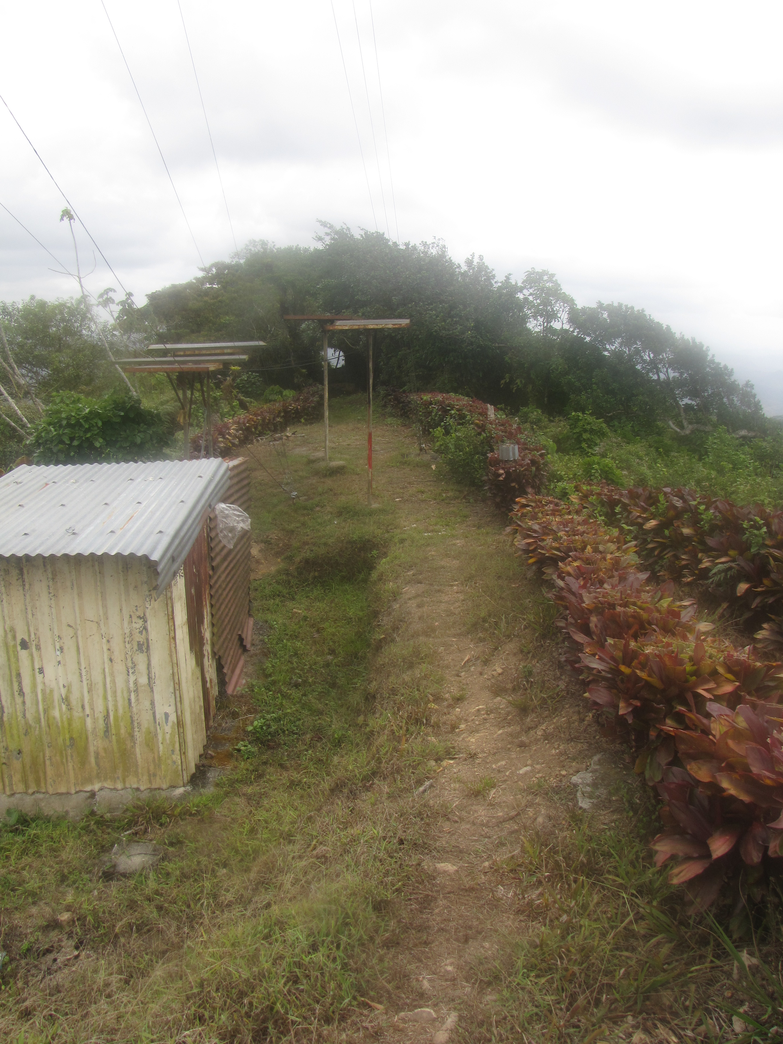
The forest was darker and damper, we could hear howler monkeys welcoming (or warning) us, and it was impossible to see the top anymore.
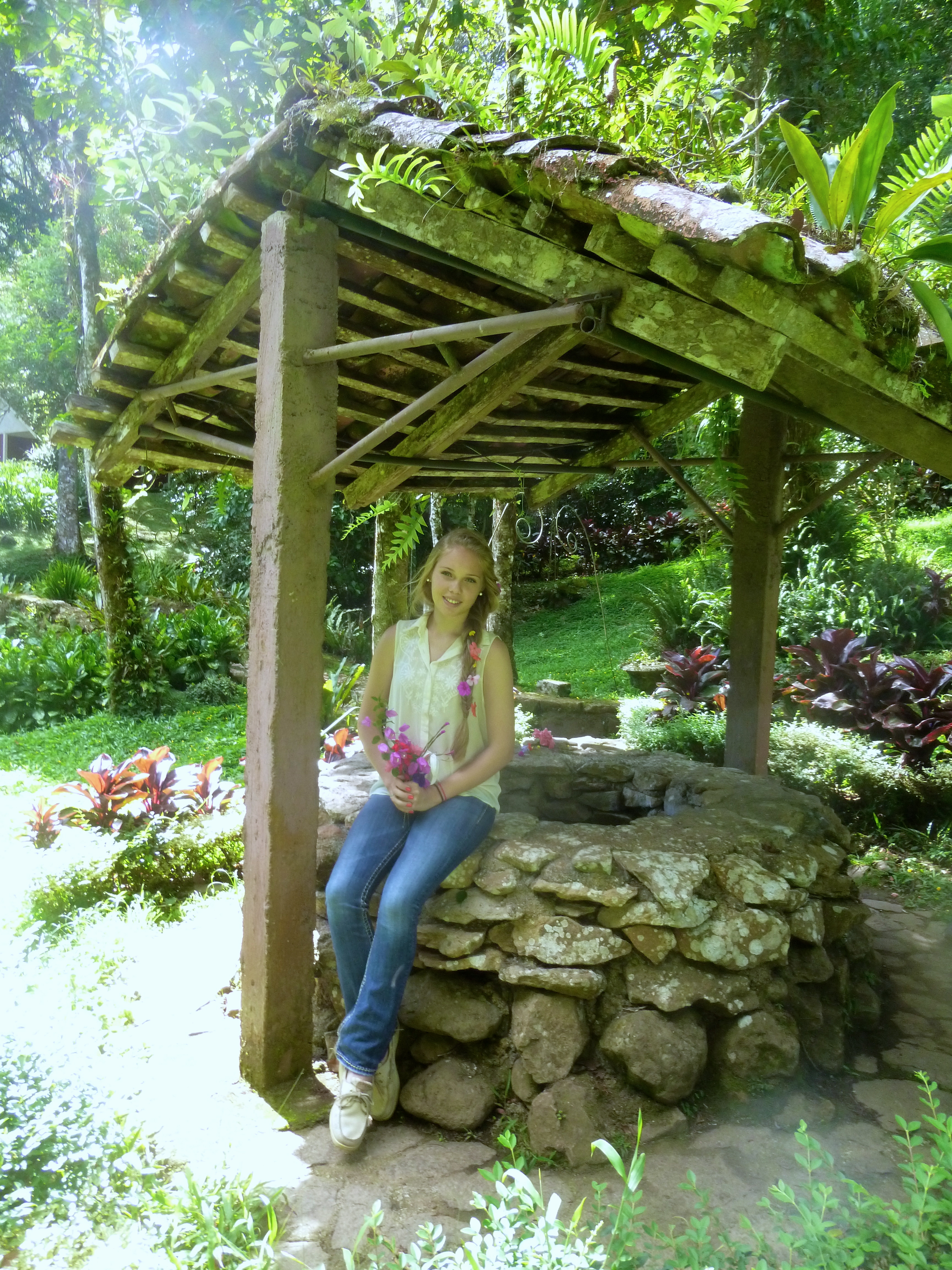
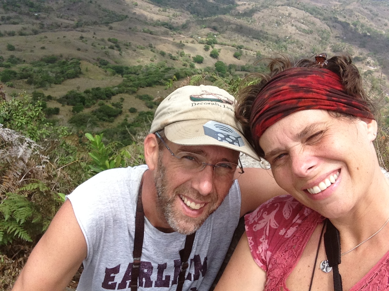
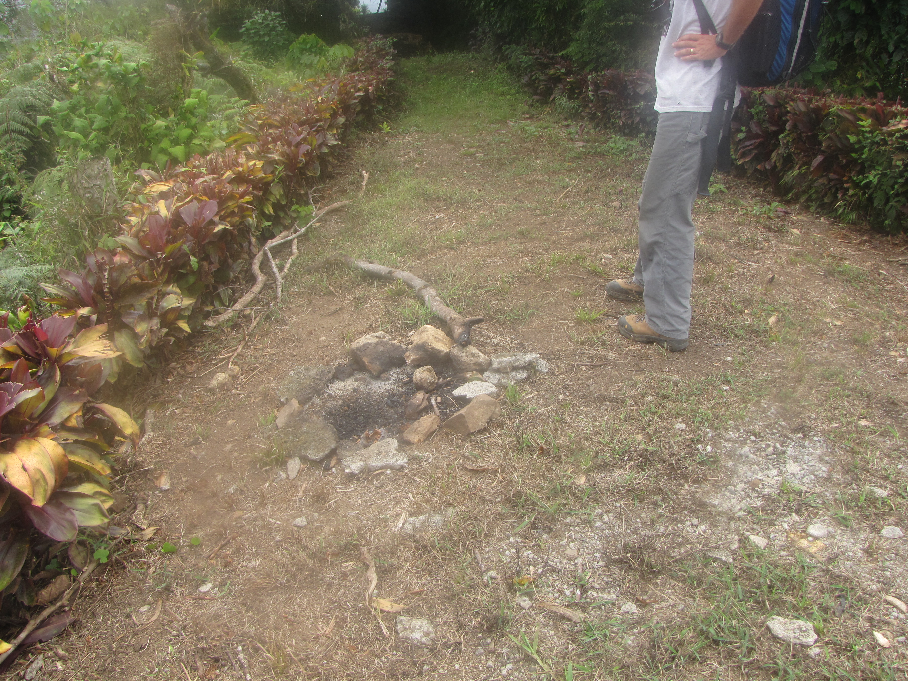
The path was plenty muddy and straight up in some spots, but much shorter than we had imagined! It basically just went right up the side of the mountain, with a few minor curves. We were delighted and surprised when at 1210, we basically turned a steep corner and had the vigilantes’ hut in close sight! As if on cue, Helen called just as we reached the top, asking where I had put the extra paraffin. It was such a random question, but she and the other girls were up to some baking schemes while we were gone, and had no idea that we had just made it up! We sat and ate lunch with the ants and the ticks at 1230 and took our selfies for the proof.


We left the top to go down the other side at 1:10. Since we had made it up in less time than imagined, we decided to go ahead and take the route down towards the Boaco Highway that we had always come up before. We left our previous camp site at the other peak at 1:25.


We felt confident and excited that we were making such good time. The hike down was uneventful and we found ourselves at our usual parking place at about 2:00 or soon after. Although there was no car waiting for us this time!! Usually, we would get in the car and head down the rocky road to the right.
But this time, we took a left on foot instead. After about ½ mile, we came to a gate entrance to a finca that we thought might lead us to a path around the west and south side of the mountain. We weren’t sure though and Andy had the itch to explore the road a little longer, so we passed the gate by and explored the path/road for another ½ mile, down a long hill. We met some friendly folks walking with some full duffle bags and another couple making it up a steep hill very very slowly. For some reason, the man was using crutches and working pretty hard to make it up! In the end, this path led us too far to the west and turned out to be the wrong way, but we did see a beautiful morpho butterfly and then a deer! This was the first time I’d seen a deer in Nicaragua if you don’t count our visit to the zoo!!
After we backtracked some and went under the gate entrance to the finca, we noticed that we were being followed by some men. I was worried that they would ask us to get off their property, although we had seen no signs that said “no trespassing.” Meanwhile, we saw some toucans briefly and allowed the men to catch up to us. They turned out to be very friendly and were just coming to feed the cows in the area. After we left them, another man came along. It turns out that he was heading in the same direction as us and walked down the hills on that side with us for a while. He was heading to his brothers’ place, who turns out to be the owner of the Selva Mombach pool. I felt a little weird because as he walked with us, it was clear that we were slowing him down, but he didn’t mind and was content to follow along.

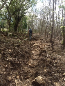
There were a lot of gullies and down hills, including many areas of bad erosion. Finally we reached a small house and sad goodbye to our guide. It seemed like this was his home, although he never said that. But he gave us nice directions for finding the main route to the road that would lead us back to Mombachito church. We followed the fence line for a while and then took a left along a path as wide as a road, but way too rocky and bumpy to drive a car/truck/bus on.

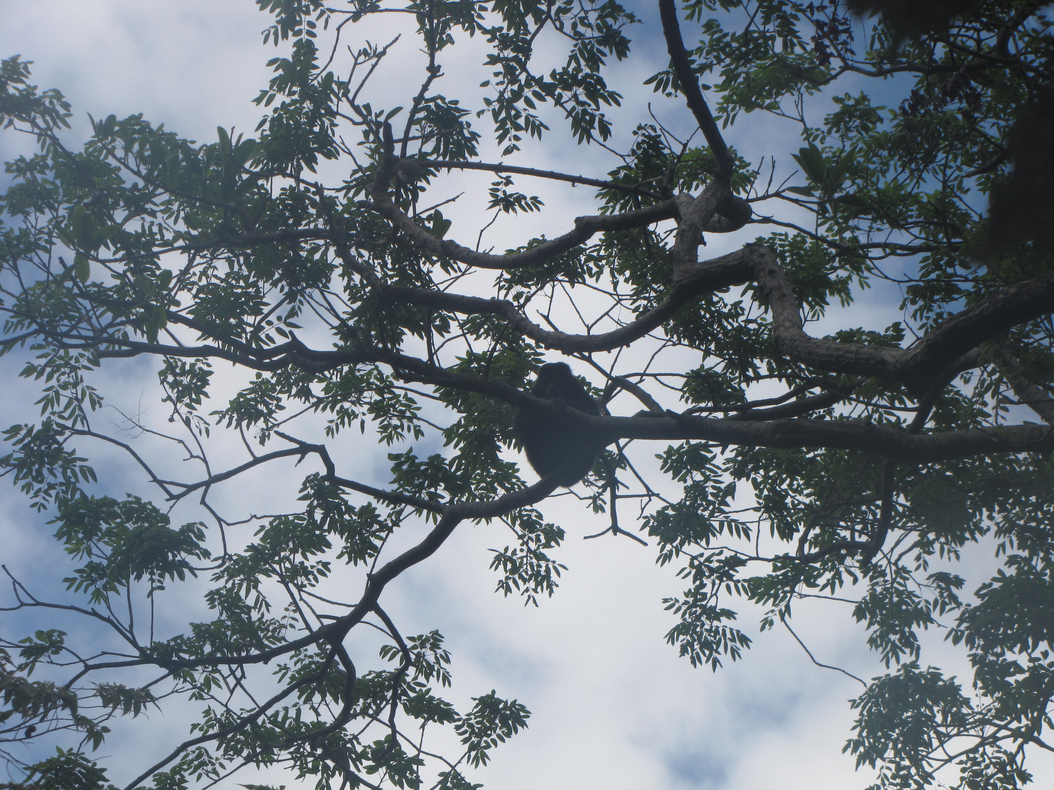
This road involved many more ups and downs and very eroded paths from the frequent moving of cattle and horses though the areas. At one point, we stopped to admire a huge termite nest that was over the road in a tree. Andy looked around and was about to point out another one close by, when he realized that he was looking at a monkey instead!!
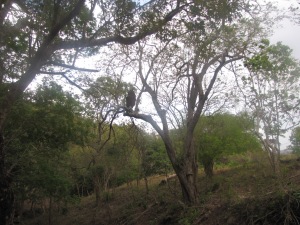


It turned out to be a mama with her baby! And soon after, I saw a squirrel scampering along a branch, which is a rare sight for us in Nicaragua. We passed several houses as well, with lots of little kids and chickens running around.
Finally things started to look familiar and I realized that we were almost to the Selva Mombach pool. I had run to the pool and back a couple of times and beyond it a little on the rocky road. So when we came to a steep hill that had a few areas filled in with concrete to make it passable with a truck, I knew we were close. I was tired, but this realization renewed my energy. It felt like we were almost home! But in reality, we were still three miles away. (In the past, I have run from our house to the pool and back and Andy’s GPS watch says it is exactly 5 km (3.1 miles) one way.
We debated going into Selva Mombach pool to get a coke and rest for a bit, but that would get us home at 6 or later, so we pushed on. We found a little tienda in a house and since we were out of water by that point, we bought their last cold Pepsi to share. Then we continued on past the church, down the steep cobble stone hill, and through town again. It started raining at about 445, about ¾ mile before we reached home. We arrived home at 515, soaking wet, exhausted, happy and hungry. It just wouldn’t have been right to get through the day with no rain, as our wedding day had its share of Iowa summer thunderstorms and showers mixed in with beautiful sunny weather too!

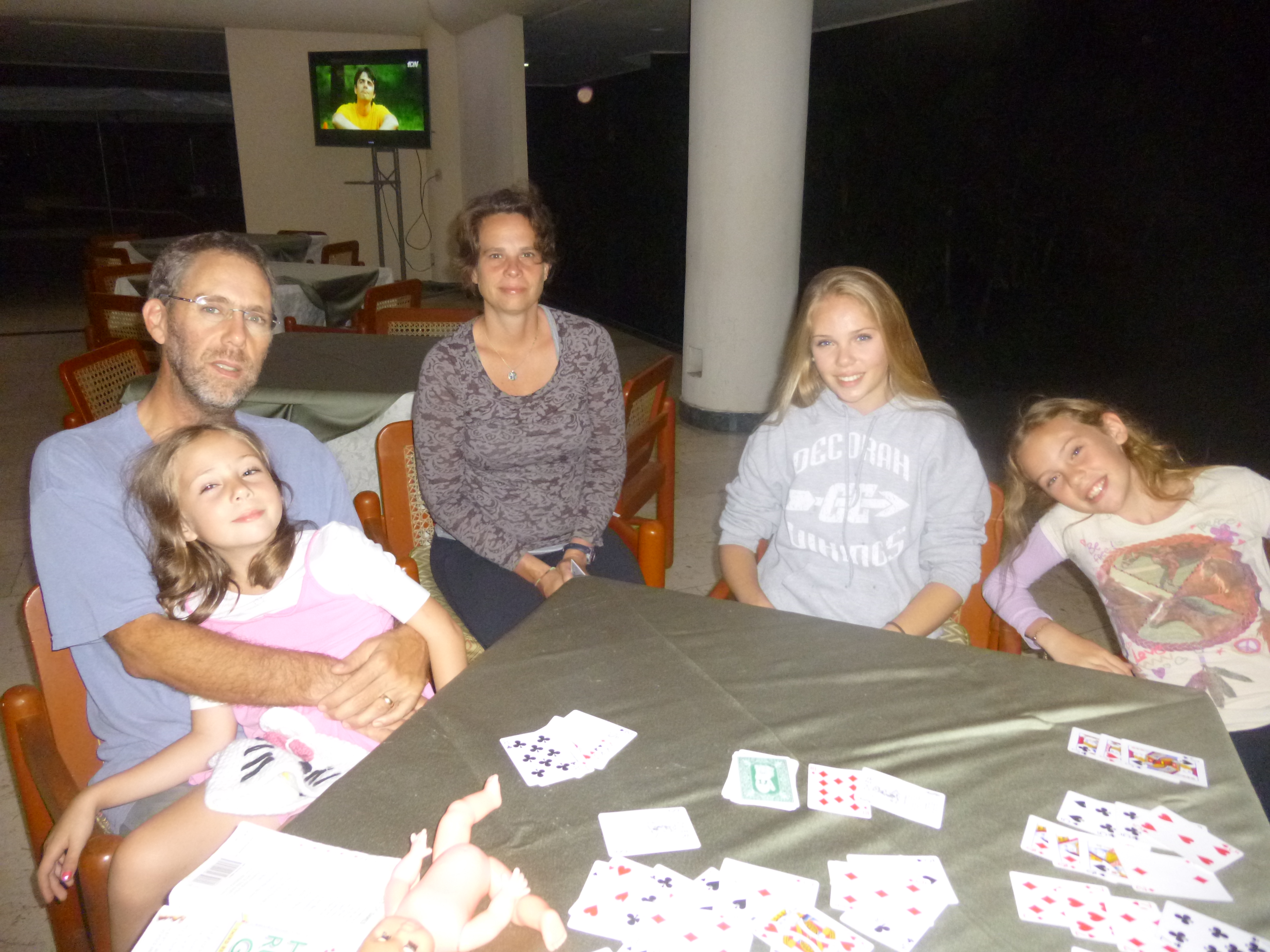
After a cold shower, we celebrated with the girls by going out to eat at the Hasan restaurant at about 7:00 pm. This was a restaurant that we had only been to once before, our first week in Camoapa last August. It turned out to be more of a disappointment this time, since they had no chicken legs, enchiladas or kabobs. Oh well, such is life in small town Nicaragua. “¡¡Cuando no hay, no hay!!” (When there isn’t any, there isn’t any!) And when you have a grumpy 6 year old, waiting a long time for her food, it’s usually time to tell a story…..
The dogs told the wrens, the wrens told the cows…..
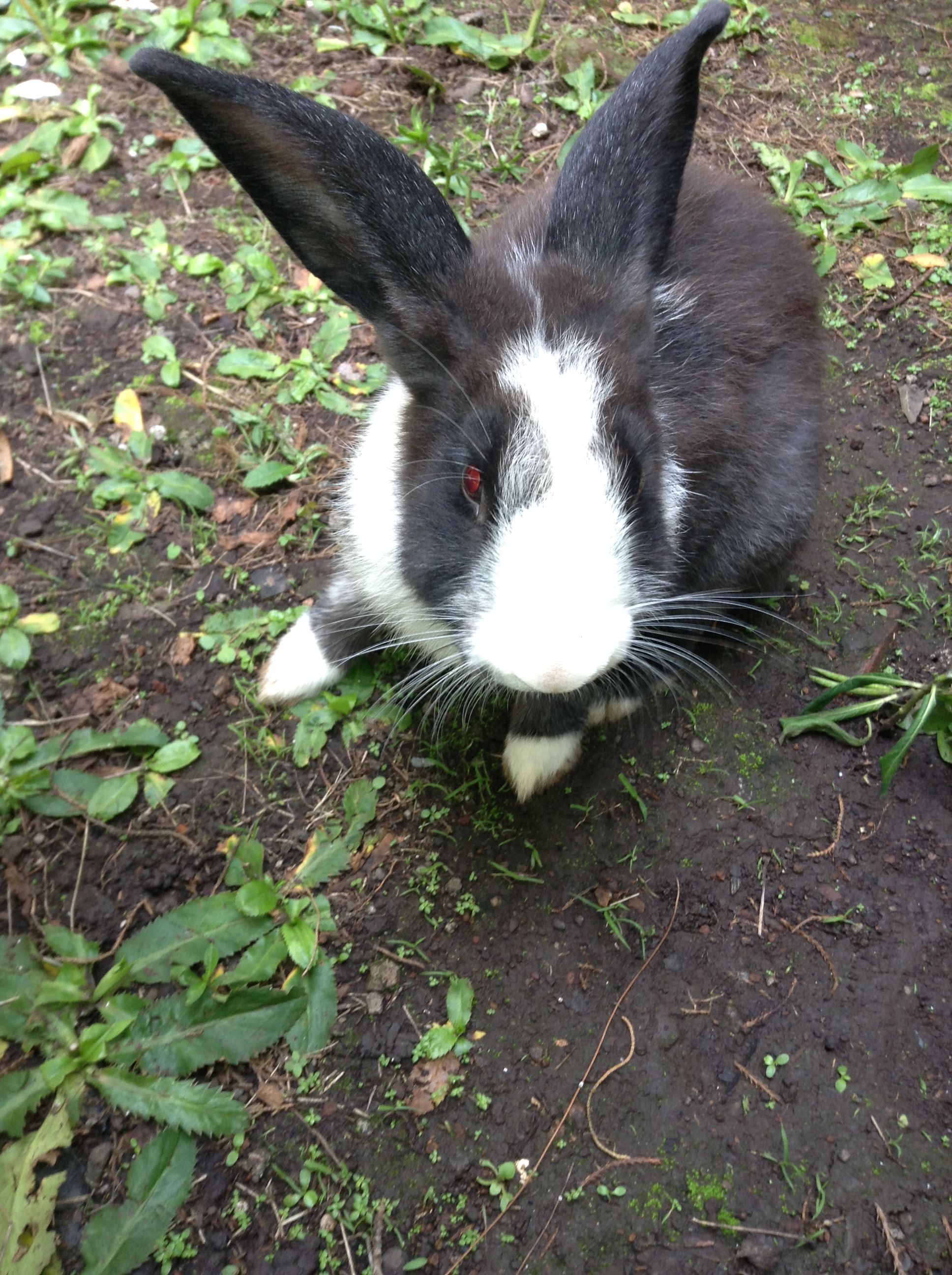
P.S. We really did see all those animals and birds on our hike that day!!